Drone Surveys & Photogrammetry
Every angle, on schedule, without scaffolding.
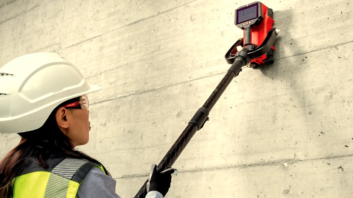
A non-destructive look first.
Drone surveys deliver fast, repeatable aerial capture: site progress, orthomosaic mapping, photogrammetric models, aerial inspection, and volumetric stockpile measurement.
Method matters.
Flights are conducted within the scope, conditions and limits set by the operator's CAA Operational Authorisation, including airspace permissions, site access, weather conditions and the standard 120m altitude limit unless specifically authorised. Flights follow a planned grid with calibrated control points on the ground. Imagery is processed into orthomosaics and 3D models. Inspections combine wide-area imagery with high-zoom detail captures of the items of interest.
The right call at the right moment.
- 01
For monthly progress capture across a site
- 02
To generate an orthomosaic for design or planning
- 03
For roof, façade, or chimney inspection
- 04
To measure stockpile or earthworks volume
- 05
When working at height would otherwise need scaffolding
- 06
For visual records before, during, and after a project
Deliverables built for engineers.
No buried PDFs. No mystery numbers. Every deliverable is built around the question being asked.
- Geo-referenced orthomosaic
- 3D photogrammetric model
- Stockpile volumetrics report
- Inspection report with annotated still imagery
- Time-stamped progress imagery and short flythrough videos
Common questions.
Do you have CAA authorisation?
Yes. All Corvus drone operations are conducted under CAA Operational Authorisation. Our pilots hold GVC qualifications and we carry full aviation liability insurance.
What can drone surveys be used for?
Progress monitoring, photogrammetric surveys, orthomosaics, volumetric calculations, façade inspection, and aerial photography for planning and marketing purposes.
When do I need to pay?
All surveys are invoiced by proforma. Full payment is required before we mobilise. We'll send the proforma invoice immediately on confirmation and works are scheduled once cleared funds are received.
Do your operatives have CSCS cards?
Yes. All Corvus operatives hold valid CSCS cards and carry full public liability insurance. We can provide method statements and RAMS on request.
What areas do you cover?
We cover the whole of the UK. Travel costs for sites outside London may apply — we'll confirm this when quoting.
Can you work in occupied buildings?
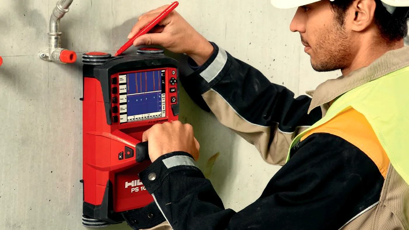
Yes. GPR and Ferroscan equipment is non-intrusive and silent. We regularly work in occupied offices, hospitals, and schools with minimal disruption.
Where drone surveys is the right tool.
Photogrammetry
Drone photogrammetry for 3D models, orthomosaics and visual records.
Learn moreSite Progress
Repeatable monthly drone capture for site progress and stakeholder reporting.
Learn moreOrthomosaic Mapping
Survey-grade orthomosaics for design, planning and as-built records.
Learn moreAerial Inspection
Detailed aerial inspection of roofs, façades, chimneys, and high-level assets.
Learn moreVolumetric Surveys
Stockpile, earthworks and quarry volumetrics from drone capture.
Learn moreBuilt for the sectors that need it most.
Drone Surveys across the UK.
Ready to see what's beneath the surface?
Tell us what you're working on. We'll come back within a working day with a quote, a method, and a date in the diary.