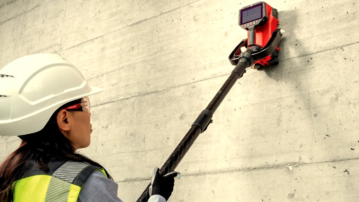
LiDAR Scanning & Point Cloud Surveys
Capture reality at millimetre accuracy — buildings, façades, structures.
Capture the building exactly as it is.
LiDAR scanning produces a high-density 3D point cloud of any space, façade, or structure. We deliver registered, georeferenced point clouds and BIM-ready models from terrestrial and mobile platforms.
We deploy a survey-grade scanner on tripod or mobile platform, capturing millions of points per second from each station. Stations are tied together using control targets and ground control points. Output is registered to within a few millimetres and exported in your preferred format.
Where it helps
- For as-built records of an existing structure
- To capture a façade for refurbishment design
- For BIM coordination and clash detection
- When you need to verify dimensions on site
- For listed-building documentation
- To monitor structural movement over time
What you receive
- Registered E57 point cloud
- RCP / RCS for Autodesk workflows
- Floor plans, sections, and elevations on request
- Revit / BIM model at agreed LOD
- Inspection-grade orthoimagery
A note on interpretation. A LiDAR survey is a geometric record of the structure as found, registered to the stated accuracy. It is a dimensional deliverable, not a structural or condition assessment.
Often surveyed together.
Drone Surveys
Drone surveys for site progress, photogrammetry, orthomosaics, aerial inspection, and volumetrics. Subject to CAA Operational Authorisation.
Learn moreLarge-Scale GPR
Multi-channel and array GPR for utility mapping, highways, airfields, archaeology, and ground investigation.
Learn moreWhere lidar scanning is the right tool.
As-Built Surveys
Capture as-built geometry to millimetre accuracy in a registered point cloud.
Learn moreFaçade Surveys
High-resolution façade capture for restoration, refurbishment, and listed-building work.
Learn moreStructural Monitoring
Repeat LiDAR scans to detect structural movement over time.
Learn moreBIM Integration
Convert point clouds into BIM models at agreed Levels of Development.
Learn morePoint Cloud Capture
Registered, georeferenced point clouds for any subsequent design or analysis.
Learn moreLiDAR Scanning across the UK.
Common questions.
What file formats do you deliver?
We deliver point cloud data in .las, .laz, and .e57 formats, plus processed outputs including DXF/DWG floor plans, sections, and BIM-ready models on request.
How accurate is LiDAR scanning?
Our terrestrial LiDAR systems achieve accuracies of ±2–3mm at typical survey distances. Accuracy is confirmed in the survey report.
When do I need to pay?
All surveys are invoiced by proforma. Full payment is required before we mobilise. We'll send the proforma invoice immediately on confirmation and works are scheduled once cleared funds are received.
Do your operatives have CSCS cards?
Yes. All Corvus operatives hold valid CSCS cards and carry full public liability insurance. We can provide method statements and RAMS on request.
What areas do you cover?
We cover the whole of the UK. Travel costs for sites outside London may apply — we'll confirm this when quoting.
Can you work in occupied buildings?
Yes. GPR and Ferroscan equipment is non-intrusive and silent. We regularly work in occupied offices, hospitals, and schools with minimal disruption.
Guides on lidar scanning.
LiDAR for structural monitoring
LiDAR can detect millimetre-level change in a structure over time. Here is how it is used for settlement monitoring, deformation surveys, and condition tracking on buildings and civil structures.
Read articleHow to specify a LiDAR survey deliverable
Most problems with LiDAR surveys come from a poorly written brief. Here is exactly what to specify — accuracy, format, coordinate system, deliverable — so the data is usable when it arrives.
Read articleMobile LiDAR vs static LiDAR — which to choose
Mobile and static LiDAR scanners produce very different results at very different speeds. Here is how to decide which is right for your project based on accuracy requirements, site size, and programme.
Read articleLiDAR for dilapidations surveys
Dilapidations disputes turn on accurate records of condition. Here is how LiDAR supports the landlord and tenant process — from schedule of condition through to terminal dilapidations.
Read articleLiDAR scanning for measured building surveys
Measured building surveys have been transformed by LiDAR. Here is what a LiDAR-based measured survey captures, how it compares to traditional tape-and-sketch, and what the deliverable looks like.
Read articleWhat is LiDAR scanning in construction
LiDAR scanning explained: what it is, what it captures, and why it has become the standard for as-built surveying in UK construction.
Read articleNeed an accurate as-built?
Send drawings, photos or proposed fixing locations and we'll advise the right survey approach.