Utility Mapping
Multi-channel GPR utility mapping to PAS 128, integrated with locator data.
Know what's underground, before you break it.
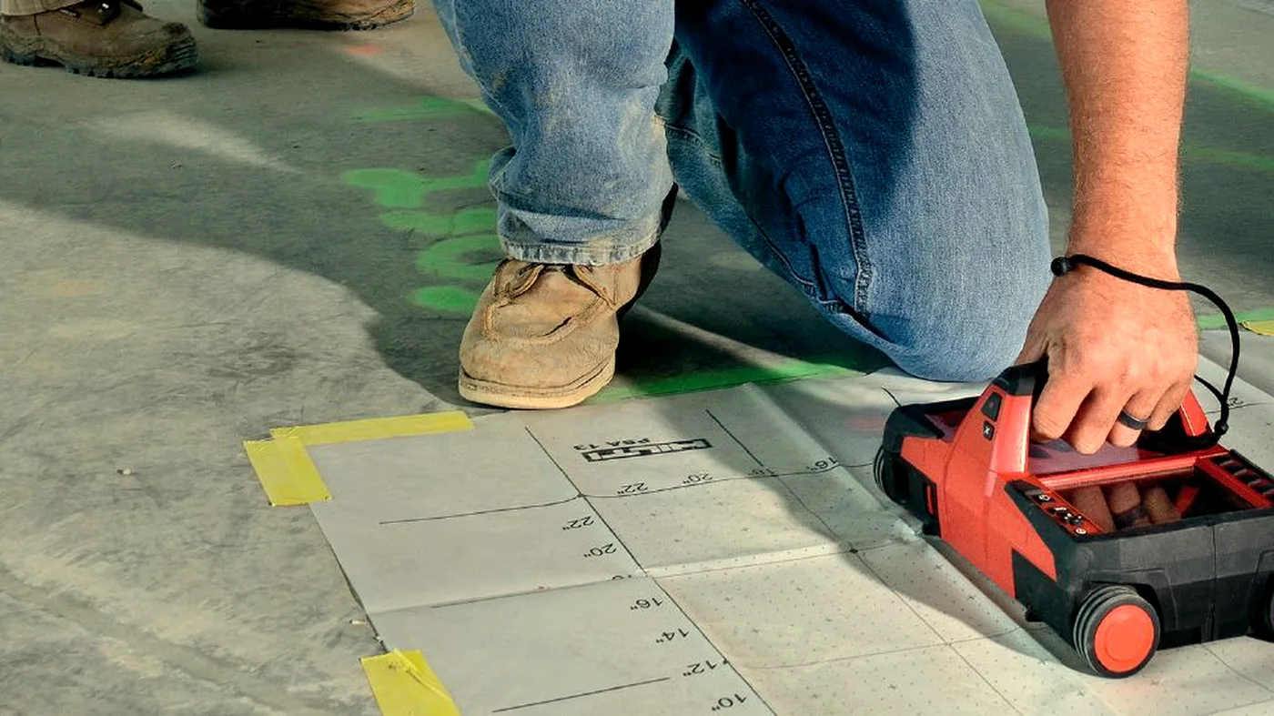
Utility mapping with multi-channel GPR finds metallic and non-metallic services in one pass. We deliver to PAS 128 levels where required and integrate locator data for a complete picture.
Where it helps
- For utility detection ahead of excavation
- For PAS 128 utility mapping surveys
- On highways and airfields where access is time-limited
- For archaeological reconnaissance
- For void and culvert detection on infrastructure assets
- Before piling, foundations, or trenching at scale
What you receive
- PAS 128 compliant deliverables where required
- Utility plan in DXF / DWG / GIS-ready format
- Depth slices and amplitude maps
- Annotated PDF report with interpretation
- Archaeological / geophysical interpretation note when scoped
A note on interpretation. Large-scale GPR locates likely subsurface features and utilities to the agreed PAS 128 quality level. It does not guarantee that every feature has been detected — safe-digging practice should always be followed.
Often surveyed together.
GPR Concrete Scanning
Ground penetrating radar finds rebar, post-tension cables, conduits, and voids hidden inside concrete — before they become a problem.
Learn moreLiDAR Scanning
Terrestrial and mobile LiDAR for as-built surveys, façade capture, structural monitoring, and BIM-ready point clouds.
Learn moreDrone Surveys
Drone surveys for site progress, photogrammetry, orthomosaics, aerial inspection, and volumetrics. Subject to CAA Operational Authorisation.
Learn moreMore from Large-Scale GPR.
- Large-Scale GPRHighway Surveys
Highway pavement and bridge deck investigation from a vehicle-mounted array.
- Large-Scale GPRAirfield Surveys
Runway, taxiway, and apron investigation with minimal disruption.
- Large-Scale GPRGround Investigation
GPR support for ground investigation: voids, made-ground, buried features.
Need to know what's underground?
Send drawings, photos or proposed fixing locations and we'll advise the right survey approach.