Large-Scale GPR & Subsurface Investigation
Map utilities, voids, and ground conditions across whole sites.
Know what's underground, before you break it.
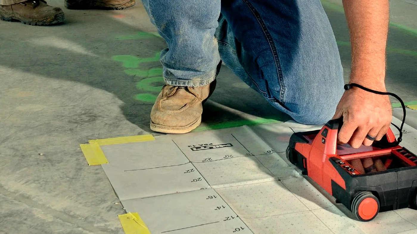
Large-scale GPR uses multi-channel arrays to image the subsurface across a whole site in one pass. We deliver utility mapping to PAS 128, highway condition surveys, airfield investigation, archaeological reconnaissance, and ground investigation support.
A vehicle-towed or pushed array surveys the site in lanes. Multiple frequencies capture both shallow services and deeper features. Data is processed into depth slices and combined with locator and topographic data to produce a single accurate plan.
Where it helps
- For utility detection ahead of excavation
- For PAS 128 utility mapping surveys
- On highways and airfields where access is time-limited
- For archaeological reconnaissance
- For void and culvert detection on infrastructure assets
- Before piling, foundations, or trenching at scale
What you receive
- PAS 128 compliant deliverables where required
- Utility plan in DXF / DWG / GIS-ready format
- Depth slices and amplitude maps
- Annotated PDF report with interpretation
- Archaeological / geophysical interpretation note when scoped
A note on interpretation. Large-scale GPR locates likely subsurface features and utilities to the agreed PAS 128 quality level. It does not guarantee that every feature has been detected — safe-digging practice should always be followed.
Often surveyed together.
GPR Concrete Scanning
Ground penetrating radar finds rebar, post-tension cables, conduits, and voids hidden inside concrete — before they become a problem.
Learn moreLiDAR Scanning
Terrestrial and mobile LiDAR for as-built surveys, façade capture, structural monitoring, and BIM-ready point clouds.
Learn moreDrone Surveys
Drone surveys for site progress, photogrammetry, orthomosaics, aerial inspection, and volumetrics. Subject to CAA Operational Authorisation.
Learn moreWhere large-scale gpr is the right tool.
Utility Mapping
Multi-channel GPR utility mapping to PAS 128, integrated with locator data.
Learn moreHighway Surveys
Highway pavement and bridge deck investigation from a vehicle-mounted array.
Learn moreAirfield Surveys
Runway, taxiway, and apron investigation with minimal disruption.
Learn moreGround Investigation
GPR support for ground investigation: voids, made-ground, buried features.
Learn moreArchaeological Surveys
Non-destructive archaeological reconnaissance using GPR.
Learn moreBuilt for the sectors that need it most.
Large-Scale GPR across the UK.
Common questions.
What is large-scale GPR used for?
Multi-channel array GPR is used for utility mapping, highway and airfield surveys, archaeological investigations, and large floor slab assessments where single-channel GPR would be too slow.
How is large-scale GPR different from standard GPR?
Standard GPR uses a single antenna moved manually. Large-scale array systems use multiple antennas simultaneously, covering much larger areas quickly and producing higher-resolution subsurface maps.
When do I need to pay?
All surveys are invoiced by proforma. Full payment is required before we mobilise. We'll send the proforma invoice immediately on confirmation and works are scheduled once cleared funds are received.
Do your operatives have CSCS cards?
Yes. All Corvus operatives hold valid CSCS cards and carry full public liability insurance. We can provide method statements and RAMS on request.
What areas do you cover?
We cover the whole of the UK. Travel costs for sites outside London may apply — we'll confirm this when quoting.
Can you work in occupied buildings?
Yes. GPR and Ferroscan equipment is non-intrusive and silent. We regularly work in occupied offices, hospitals, and schools with minimal disruption.
Guides on large-scale gpr.
The difference between GPR and ground investigation
GPR and ground investigation answer different questions about the subsurface. Here is how they differ, where they overlap, and how the two methods work together.
Read articleWhat is utility mapping and why is it important
Utility mapping locates the buried services that an excavation or piling job has to avoid. Here is how it is done, what the deliverable looks like, and why it is non-negotiable.
Read articlePAS 128 explained — the standard for utility surveys
PAS 128 is the UK specification for utility detection and mapping. Here is what it is, what each quality level means, and how to specify a survey to it.
Read articleHow GPR is used on highways and roads
Multi-channel GPR has become the standard tool for pavement and bridge-deck investigation on UK highways. Here is what it captures, how it is run, and what to expect from the deliverable.
Read articleArchaeological surveys using GPR — a guide
GPR is one of the most useful non-intrusive tools in archaeology. Here is how it is used to find buried features before any ground disturbance.
Read articleNeed to know what's underground?
Send drawings, photos or proposed fixing locations and we'll advise the right survey approach.